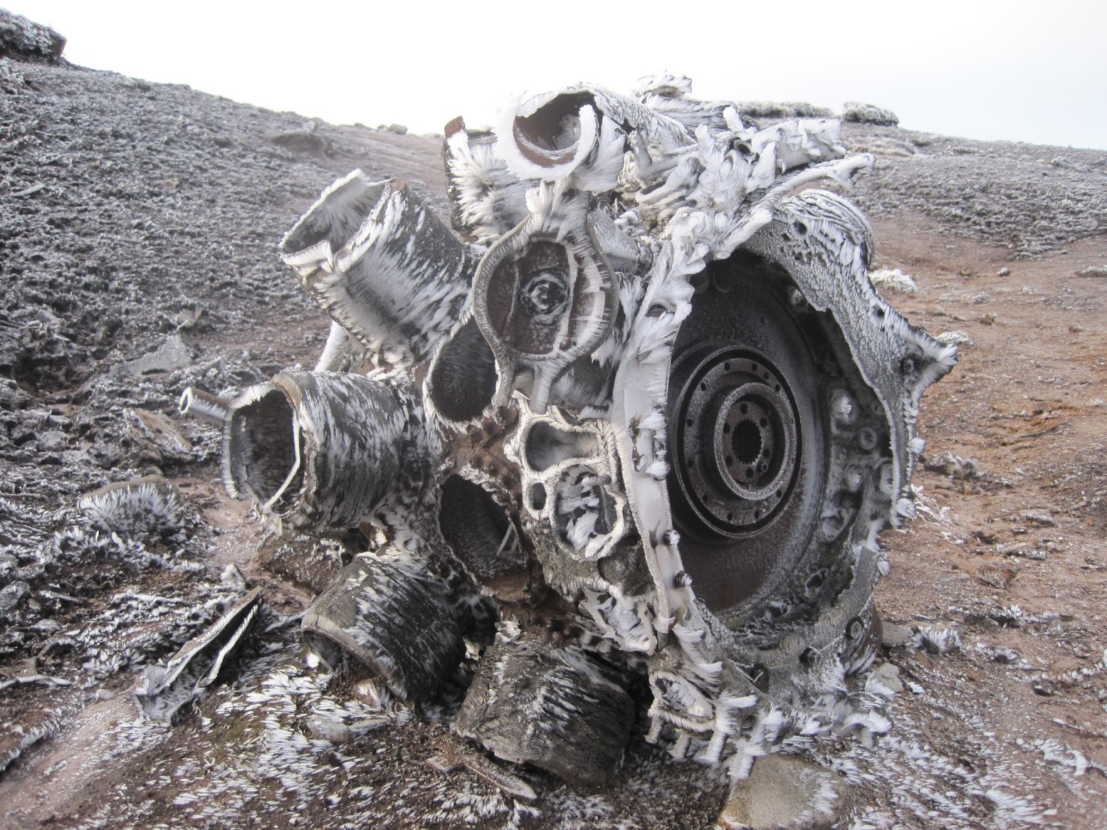
Still in the grips of winter, there had been another heavy snowfall a few days earlier and I was itching to get out and walk amongst it
I’d recently purchased some Grivel Spider spikes for about £27 and I was hoping I’d get the opportunity to try them out, they’re not the full crampon, but I was hoping this would be a cheaper alternative.


I was looking for an easy route to walk on without any risks as conditions could be tricky to walk in. It was a bitterly cold weekend and the roads weren’t great so I opted for the Peak District again.
But this time I was heading to a place I hadn’t been before, Alport Castles.
It was an 11.3 miles walking above Alport Dale.


Driving along the A57 Snake Pass is a stunning drive, the sun was out, the sky was blue and the hills were white with snow. As I approached Ladybower Reservoir, looking at the valley full of pine trees reminded me of somewhere like Canada. I had my music high and I felt brilliant, I couldn’t wait to get out there.
I parked along the Ladybower Reservoir at the Bridge End car park. From here I was straight into the woods of Hagg Side and a fairly well trodden path was in front of me. However the hard snow got a little deeper as I gained height and made the ascent just that bit harder.
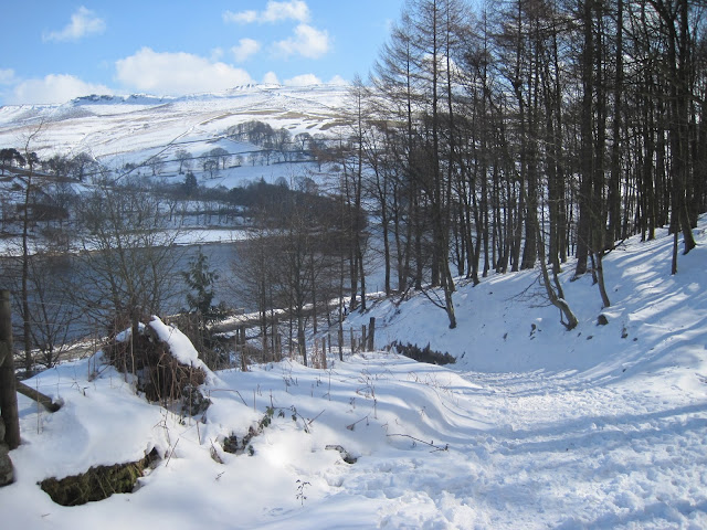


Once out of the woods at ‘Open Hagg' excellent views of Kinder Scout and beyond could be seen. Although I couldn't see the Snake Pass road though Haggtor Coppice, I could certainly hear the traffic on it.


I made my way towards Woodcock Coppice and a gentle ascent up to Rowlee Pasture.
The wind was bitterly cold, and had whipped up leaving some fields bare while forming deep snowdrifts elsewhere as it became more exposed from here.The walking was varied, from clear paths to deep snow fields.


I decided to try my new Grivel Spider spikes. Probably not the ideal conditions but I thought it will give me an idea of how they perform. I found them difficult to put on under my boot, and not obvious which way round they go. Once on I found them very uncomfortable, sitting in the mid boot, in front of the heel. I also found they moved about no matter how tight I pulled the straps. They were also balling up with snow, so I removed them after a short time as they weren't needed and more of a problem on than off. I was unimpressed.

Whitefield Pits and the route ahead

Looking back at Whitefield Pits

A bit of wind protection needed
I was soon passed Whitefield Pits and looking at the magnificent gritstone cliffs overlooking Alport Castles. These rock formations were caused by huge landslides, leaving these gritstone castle like formations standing alone, the largest of these was named ‘The Tower’


The Tower

Gritstone Cliffs, home to Peregrine falcons

The bird hide
The cliffs here at Alport Castles are home to Ravens and Peregrine falcons and a bird hide has residents overlooking the site. Continuing on beyond the high cliffs across moorland I pass a dead sheep, clearly a victim of the recent harsh weather.


The poor sheep shows an unforgiving nature

An exposed landscape
My target was the trig point on Westend Moor which is just over 500m the highest point of the day. The trig pillar was about the only shelter in this exposed part of the Peak District and was a good spot to have a break as I was just under halfway through the days walk.


Trig point on Westend Moor
I now backtracked a short distance back to Alport Castles through some deep drifts. I then picked up the path heading northeast descending into Fagney Plantation.

Its a beautiful little wood, and the snow glistening in the sunshine just made it that bit more rewarding. The woodland path took me to the reservoir perimeter road, from here it was a 4 mile walk along Howden, Upper Derwent and Ladybower Reservoirs back to the car.


Descending down into Fagney Plantation
Its a beautiful little wood, and the snow glistening in the sunshine just made it that bit more rewarding. The woodland path took me to the reservoir perimeter road, from here it was a 4 mile walk along Howden, Upper Derwent and Ladybower Reservoirs back to the car.


It was a great walk in the snow, the weather, although cold was beautiful. I only saw a hand full of people all day. Alport Castles is a stunning little gem, tucked away from the many, to be enjoyed by the few.